| Comment: |
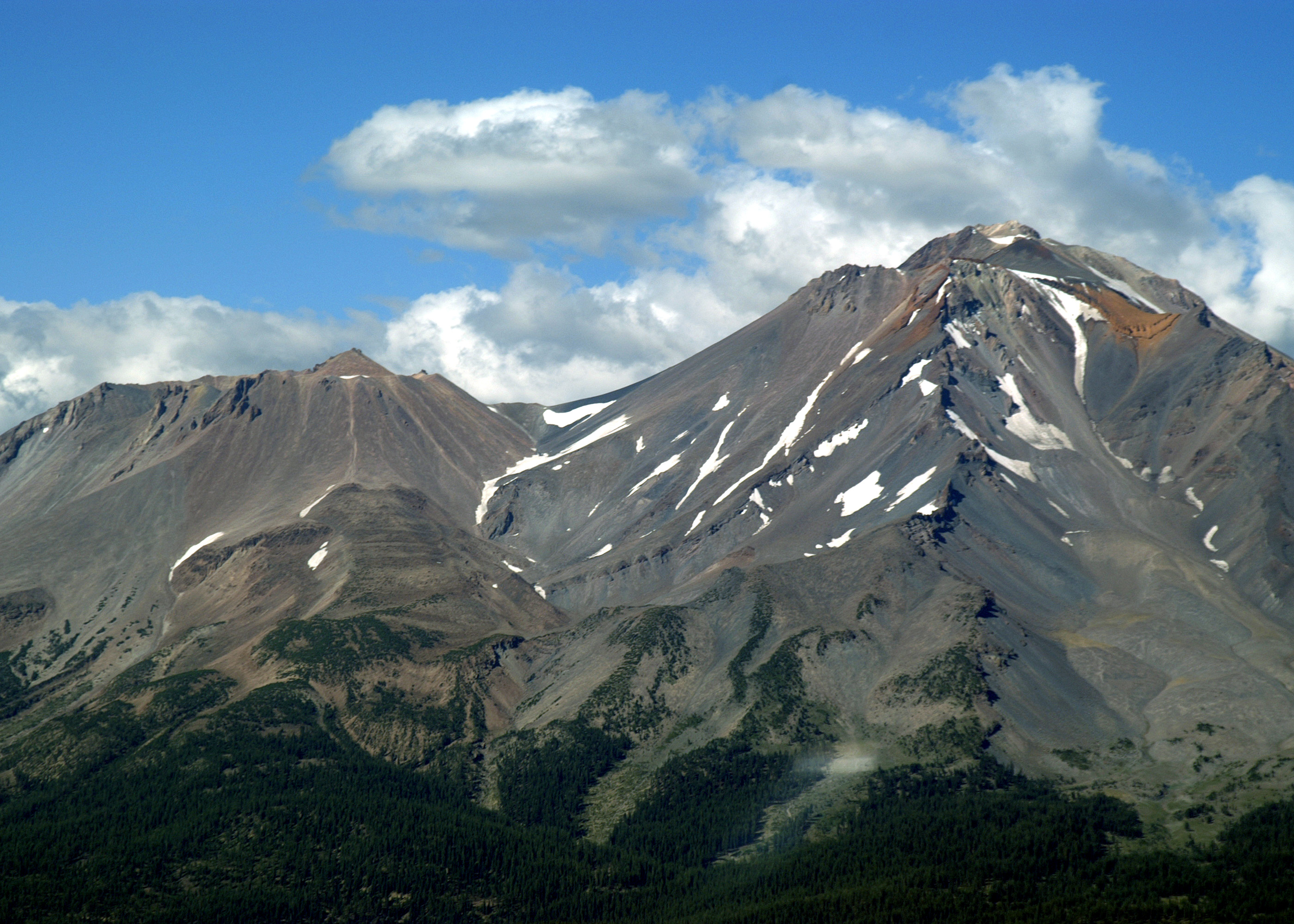
A full frame view of Mount Shasta from the southwest. Shastina cone (12,330') is on the left with the Hotlum cone summit (14,179') on the right. The Red Banks are clearly visible further to the right. Misery Hill is directly below the summit. It was given its name by climbers who commonly ascend Mount Shasta from the southwest and struggled up a steep rubble-covered slope. Most climbers think they are on the last leg to the top when they ascend the crest. The true summit still rises more than 1000' above them. |
| Image Date: |
Aug 10, 2007 - 04:53 PM |
| Original: |
PICT1742ac.jpg
, 1.51 MB, 2800 x 2000
|
| Gallery: |
San_Carlos_to_Twin_Oaks_Flight_Album |
| Camera: |
MAXXUM 5D |
| Settings: |
Focal len: 486 mm, Exposure: 1/320s, Aperature: F11.0 |
|