| Comment: |
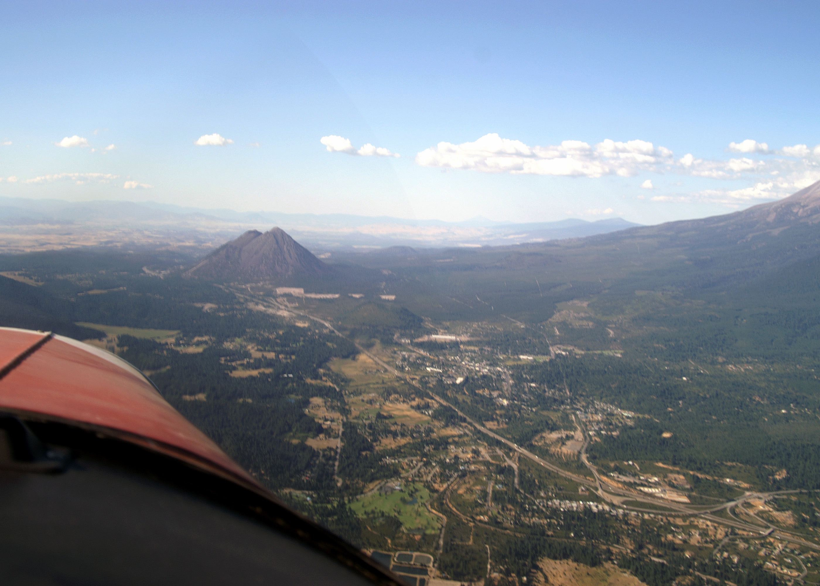
Heading for Weed Airport (O46). The town of Mount Shasta CA is below with Interstate-5 running through it. About 8 miles ahead is Black Butte (6,359') a satellite vent from the Shastina cone. By Appalachian Mountain standards Black Butte, with an over 2500' exposure, would be a significant peak. Here with Mount Shasta, with its almost 11,000' exposure, rising to the right, the peak is hardly noticeable. Julie is at 8,500' |
| Image Date: |
Aug 10, 2007 - 04:52 PM |
| Original: |
PICT1739ac.jpg
, 1.05 MB, 2800 x 2000
|
| Gallery: |
San_Carlos_to_Twin_Oaks_Flight_Album |
| Camera: |
MAXXUM 5D |
| Settings: |
Focal len: 117 mm, Exposure: 1/160s, Aperature: F10.0 |
|