| |< First | < Prev | Info | 10 of 29 | Play | Next > | Last >| |
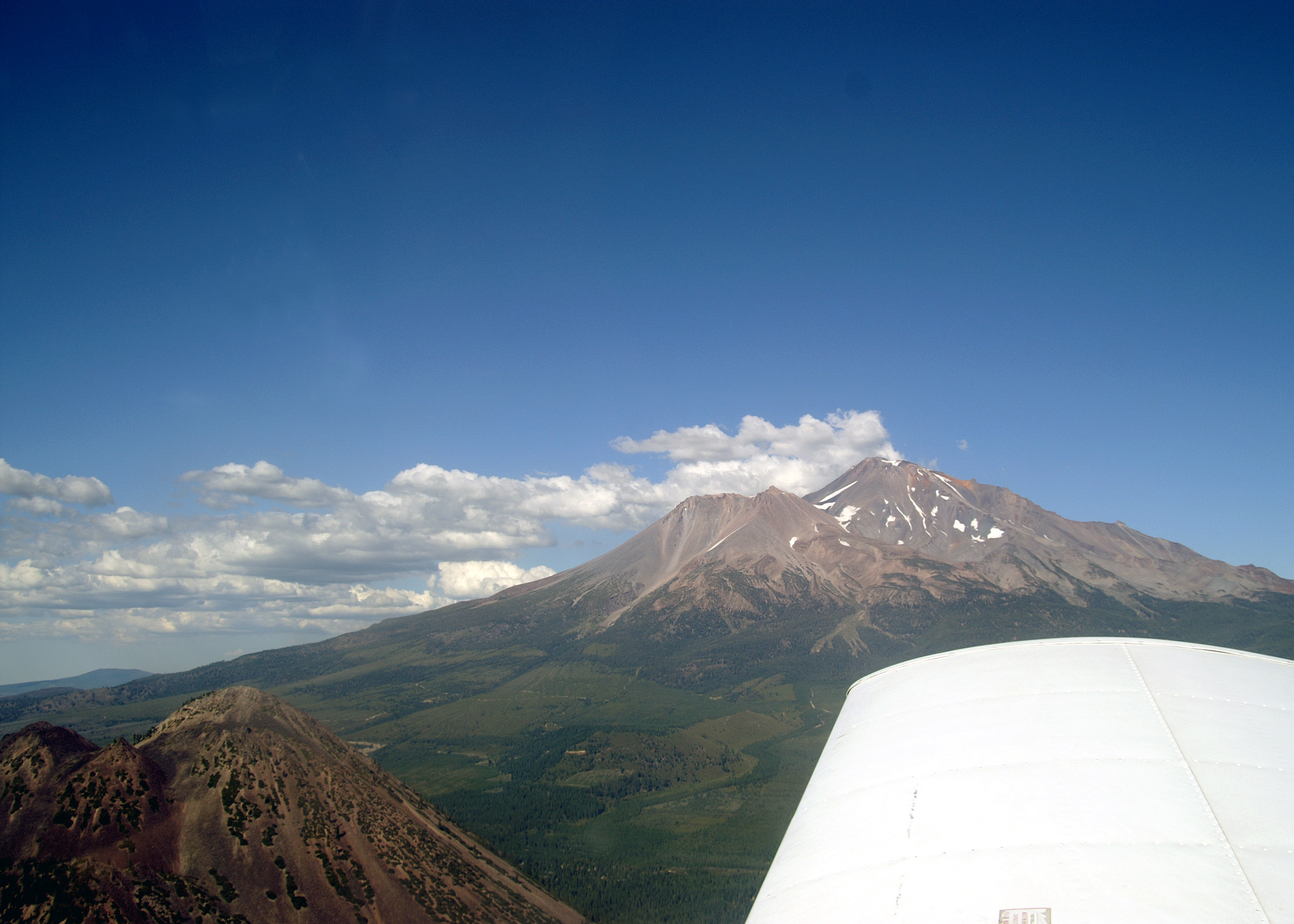
| Comment: | Julie about 10 miles west southwest of Mount Shasta, between 7 and 8 thousand feet and descending. A close up view of the summit of Black Butte (6,359') is in the foreground. The blown out side of Shastina is visible as is the Red Banks with Sergeants Ridge running to the right. |
| Image Date: | Aug 10, 2007 - 04:55 PM |
| Original: | PICT1747ac.jpg , 1.22 MB, 2800 x 2000 |
| Gallery: | San_Carlos_to_Twin_Oaks_Flight_Album |
| Camera: | MAXXUM 5D |
| Settings: | Focal len: 117 mm, Exposure: 1/320s, Aperature: F10.0 |