| Comment: |
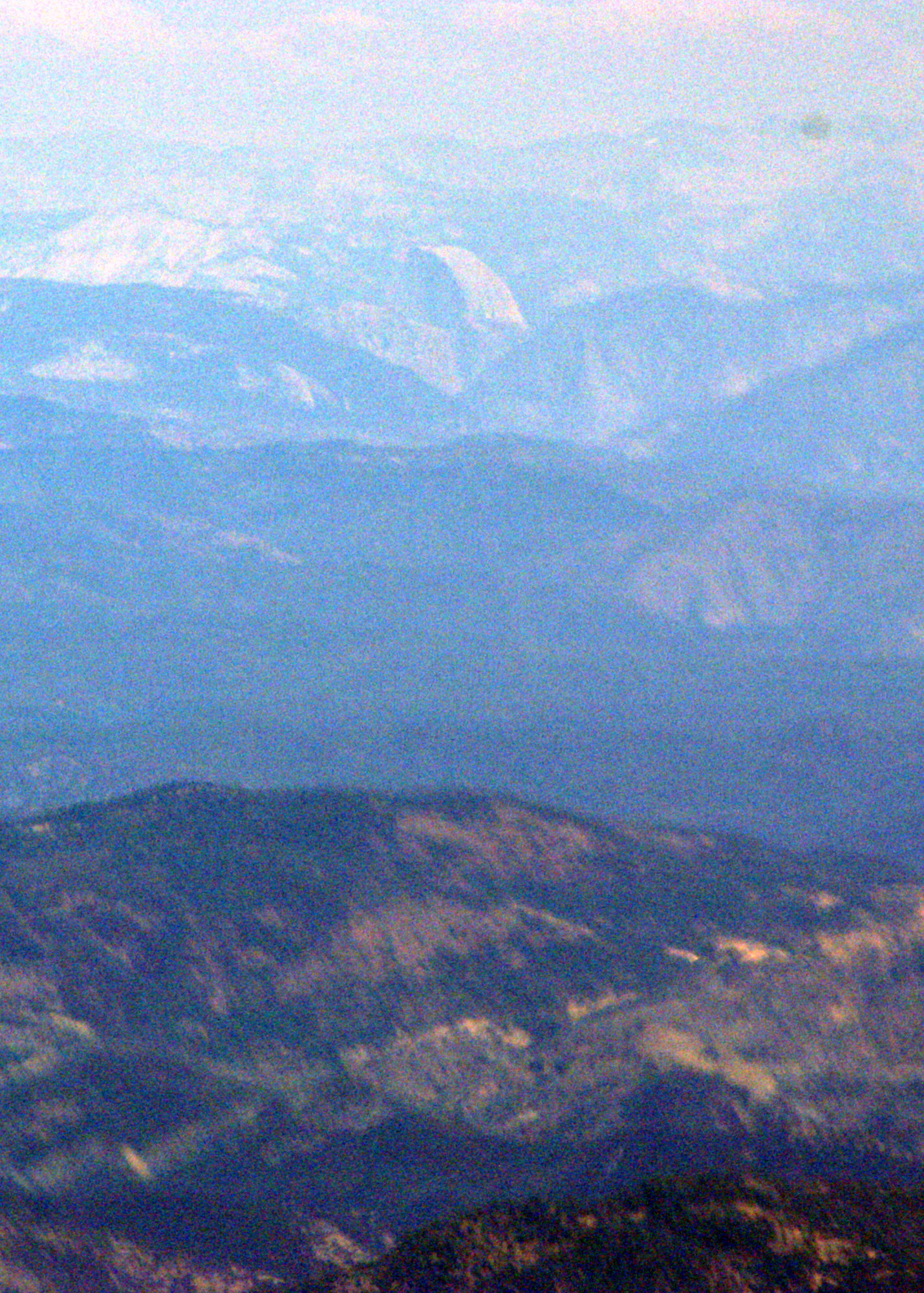
Scott and I flew out of San Carlos, across the San Francisco Bay, over the hills on the east side of the bay and into the central valley. Since the weather was clear we were navigating by sight, or "pilotage". Flying between Livermore and Modesto, Scott made out Half Dome in the distance, gave me the controls and took this picture. At that point Julie was at 7,500 ft, about 100 miles away. The top of Half Dome is 8,836 ft. Just below Half Dome and slightly offset to the left the left side of El Capitan is visible. Its top is 7,569 ft. Also visible in front and curving to the left is Glacier Point The white patch on its top level with Half Dome is Sentinel Dome, elevation 8,122 ft. |
| Image Date: |
Aug 04, 2007 - 02:21 PM |
| Original: |
PICT1575ac.jpg
, 1.77 MB, 1429 x 2000
|
| Gallery: |
Yosemite Flight Album |
| Camera: |
MAXXUM 5D |
| Settings: |
Focal len: 972 mm, Exposure: 1/2000s, Aperature: F14.0 |
|