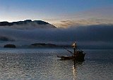
Departure From Juneau
I departed from Auke Bay (Juneau) before sunrise (7am) on the MV Aurora. Twilight was just beginning to peak over the mountains. This is a picture of a fishing boat that had departed a nearby harbor while the ferry was loading.

Departure From Juneau

Moon Over Nun Mountain
About an hour after leaving Juneau the Aurora entered into the Lynn Canal leading to Haines. At the southern end of the Chilkat Peninsula is Nun Mountain, 3839 feet high. As the Aurora cruised north the mountain ended up under the Moon and I took this picture.

Moon Over Nun Mountain
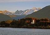
Sentinel Island Lighthouse
The lighthouse is located on a six-acre island in the Lynn Canal just north of Juneau. The original lighthouse was built to deal with the influx of marine traffic resulting from the Klondike gold rush. One of the two "first US operated lighthouses in Alaska" (there was another dedicated on the same day), it was completed in 1902. The current one was built in 1935. It is still an operational beacon today. automated and fully powered by solar energy. Except for the light it is owned and maintained by Gastineau Channel Historical Society. Overnight visits are available, although they are very rustic. The lighthouse is listed on the National Register of Historic Places. The mountains behind it are lower peaks in the Coast Mountain Range.

Sentinel Island Lighthouse
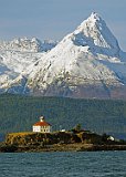
Eldred Rock Lighthouse
EEldred Rock Light is the oldest surviving lighthouse in Alaska. Its construction began in 1905 and was completed 1 June 1906. The building is 56' tall. When combined with the elevation of Eldred Rock, the light's center is 91' above sea level and can be seen from more than 15 miles away. Not automated until 1973, it was the last Alaskan lighthouse to be manned. The current light is solar powered The original Fresnel lens is on display at the Sheldon Museum in Haines. The museum is working to obtain a lease or title for the lighthouse in hopes of opening it to the public. The lighthouse is listed on the National Register of Historic Places. The peak behind the light house is within the Chilkat Peninsula, but I have been unable to find either its name or elevation. It does form the southern boundary of the Davidson Glacier (see next photo).

Eldred Rock Lighthouse

Davidson Glacier Collage
This is a 4.6 mile long valley glacier in the Chilkat Range, just south of Haines Alaska. in the nineteenth century it was a tidewater glacier that protruded into the Chilkat Inlet. It has since receded into the mountains and created a glacial lake at its moraine about one mile inland. Tour operators take tourists to the glacier first using a boat and then a road constructed for tourists. The picture on the left was taken from the deck of the Aurora on the trip into Haines. The one on the right (use the slider if necessary) was taken on the flight out of Haines.
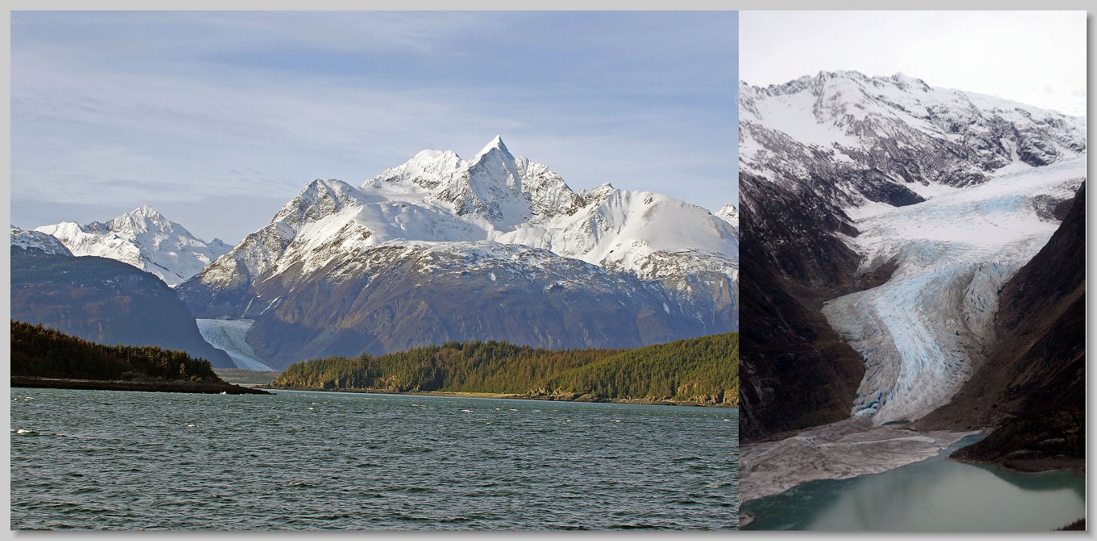
Davidson Glacier Collage
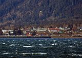
Haines From the MV Aurora
The Haines ferry terminal is on the other side of the mountain above Haines. Thus the Aurora had to go by Haines before it got to the terminal. I took this picture of down town Haines as we went by. There was a strong north wind blowing down the Lynn Canal producing the white caps on the water. The Captain's Choice Motel where I was going to stay during the Festival is the whitish building with the red roof left of center. My room was at the rightmost end of the motel.

Haines From the MV Aurora
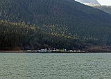
Haines Ferry Terminal
The Haines ferry terminal where the Alaska Marine Highway System meets Alaska's land highway system is located 4 miles north of the "downtown" area. The site has been a transportation hub since WW II beginning with the construction of the Haines Highway in 1943. For twenty years this was the site of military fuel storage facility and pipeline to Ladd Army Air Field (now Ft Wainwright) located just east of Fairbanks. The Chilkoot Motorship Lines, the predecessor of the AMHS, was founded here in 1948 by two Haines residents. Using a converted landing craft, christened the MV Chilkoot they provided weekly service from Tee Harbor ( Juneau) to Haines and Skagway providing a regular connection from Juneau to the North American road system. Based on my conversations with the Malaspina passengers it is still the primary road connection between the lower 48 and the rest of Alaska. By far the majority of the vehicles on my trip were heading for here and proceeding on to points north. Even on the Aurora by far the majority of the drivers were getting off at Haines.

Haines Ferry Terminal

