Chilkoot Lake
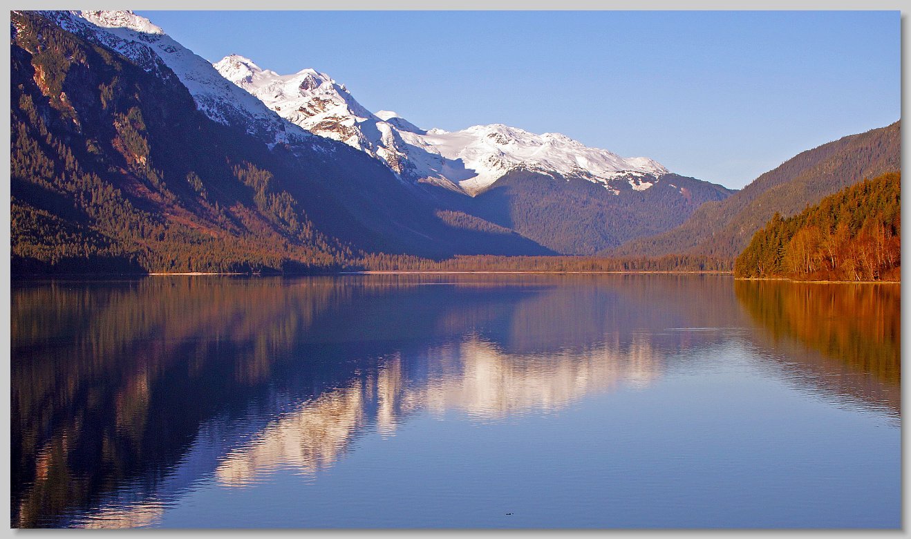
Haines is located on a peninsula which separates the Chilkat and Chilkoot inlets. The eagle preserve and the Chilkat River is on the Chilkat side. On the Chilkoot side is the Chilkoot river which both feeds and drains the Chilkoot Lake. During Thursday lunch the photographic workshop participants drove around the peninsula and up to the lake. This is view of the lake from a recreation area at the south end of the lake, near the river's outflow. Note, the picture is slightly panoramic, so use the slider to see its right side.

Chilkoot Lake

Moon Over The Mountains
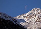
To the west of Chilkoot Lake are the Takshanuk Mountains which run down the center of the peninsula. While we were visiting the lake I walked up to the end of the recreation area and looked to the west to see this setting moon.

Moon Over The Mountains

North End of the Haines Highway
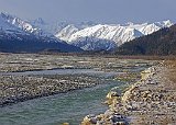
For Friday lunch the photographic workshop drove up the Haines Highway to eat at the 33 Mile Roadhouse. Before going in we drove a couple of miles further along the Klehini River (a tributary of the Chilkat) for this particularly scenic view of the highlands of the Tatshenshini - Alsek Park in British Columbia. (The Canadian border is about 5 miles further up the road).

North End of the Haines Highway


